UK Joins OceanEye: Ocean Data Becomes Key to Extreme Weather Prediction
Baca dalam 60 detik
- Menteri Lingkungan Inggris Angela Eagle akan mengumumkan keikutsertaan negaran itu dalam program OceanEye milik Uni Eropa di Markas PBB, New York.
- Langkah ini memperkuat kerja sama sains laut pasca-Brexit dan mengisi kekosongan data global yang selama ini bergantung pada Amerika Serikat.
- Bagi Indonesia, integrasi data laut regional dapat memperbaiki akurasi peringatan dini bencana hidrometeorologi dan mendorong diplomasi maritim.
The UK will officially join OceanEye, a €92 million (around Rp1.6 trillion) marine science initiative led by the European Union, to improve its ability to predict extreme weather and climate change. The announcement will be made by UK Environment Minister Angela Eagle at a meeting at UN Headquarters in New York, also attended by European Commission President Ursula von der Leyen and Canadian Prime Minister Mark Carney.
The move marks a new chapter in cross-continental science cooperation as London seeks to rebuild ties with Brussels after Brexit. More than a diplomatic symbol, the decision responds to scientists' warnings that the global ocean monitoring network is under strain. This year, the United States administration threatened to dismantle much of its contribution to global ocean observation, raising concerns about the weakening of early warning systems for hydrometeorological disasters.
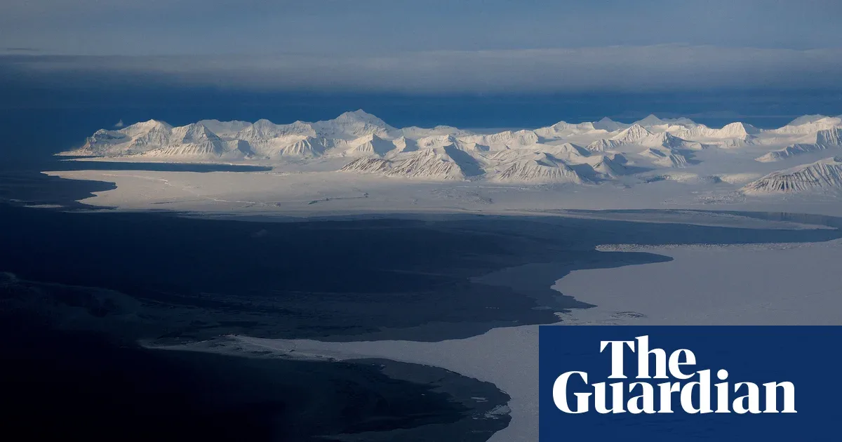
OceanEye, launched last June, aims to build a "real time" digital replica of the world's oceans by 2030. The model will integrate data from satellites, underwater sensors, and various numerical models to support decision-making in marine protection, security, and global trade. The European Union has brought in Canada as its first international ally to close monitoring gaps in under-observed regions, especially at the poles and in the deep sea.
The UK is committed to sharing data from the Met Office and other agencies with the European Union and Canada. In her statement, Eagle stressed that as an island nation with a climate science tradition, London fully understands the importance of ocean data. "We cannot save the ocean if we do not understand it," she said, highlighting changing weather and current patterns as drivers of floods, droughts, storms, and extreme heat in many countries.
"Changing weather and ocean current patterns are driving extreme weather that is already affecting all our countries. That is why the UK is committed to sustaining the global observation network, from coastal waters, shelf seas, to the open ocean," said Angela Eagle.
The UK Department for Environment, Food and Rural Affairs stated that joining the Global Ocean Observing System (GOOS) alliance will strengthen the country's protection from the impacts of climate change. Currently, global ocean observation capacity still has significant gaps, especially in polar regions, the deep sea, and biological measurements. Dependence on the US—which provides more than half of observation platforms—is a vulnerable point when Washington's political priorities change.
Although the US canceled plans to cut US$368 million in funding for the Ocean Observatories Initiative after protests from scientists, budget cuts to American marine agencies still leave GOOS vulnerable. This uncertainty is pushing the European Union and its partners to accelerate the diversification of data sources and strengthen the independence of observation technology.
Indonesian Context
For Indonesia, this development is not merely international news. As the world's largest archipelagic country located between two oceans, the accuracy of ocean data is crucial to the effectiveness of early warnings for tsunamis, high waves, and extreme weather. So far, the Meteorology, Climatology, and Geophysics Agency (BMKG) and BRIN have developed ocean observation systems, but their coverage and integration with global networks remain limited. The UK's joining of OceanEye opens opportunities for ASEAN countries, including Indonesia, to access more open data and technology, and encourages South-South cooperation in the marine sector.
On the other hand, US dominance in global ocean observation infrastructure implies geopolitical risk. If Washington truly reduces its involvement, developing countries will bear a greater burden to maintain sensor and satellite networks. Indonesia can use this moment to strengthen its maritime diplomacy position, for example through AIS or ASEAN forums, by offering itself as a regional ocean data hub.
Going forward, the question is not only whether OceanEye can realize a digital ocean replica by 2030, but also how countries in the Indo-Pacific region—including Indonesia—can ensure that ocean data does not become an exclusive commodity of developed countries. Without fair access, extreme weather prediction will remain unequal, and millions of people in coastal areas will face risks that are just as great.