Merapi Slope Wildfire Expands to 60 Hectares, Suspicion of Deliberate Burning Grows
Baca dalam 60 detik
- Kebakaran hutan dan lahan di Blok Gentong, Taman Nasional Gunung Merapi, menghanguskan 60 hektare lahan pinus dan perdu, terparah dalam musim kemarau tahun ini.
- Petugas menduga api sengaja dinyalakan untuk membuka akses penambangan pasir ilegal, mengingat titik api berada di tepi jalan setapak yang mudah diakses.
- Meski api sudah dipadamkan, bara di kayu pinus berpotensi menyala kembali, sehingga petugas tetap bersiaga dan menuntut pengawasan lebih ketat terhadap aktivitas ilegal di kawasan konservasi.
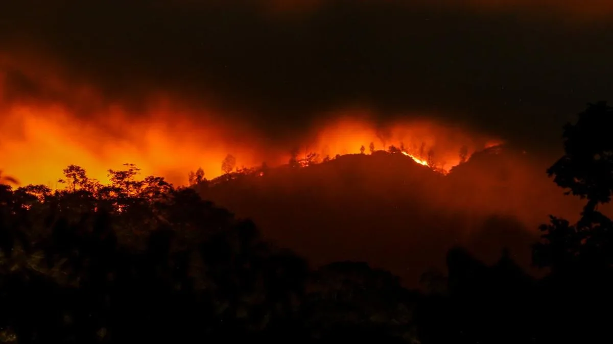
The wildfire in the Mount Merapi National Park (TNGM) area, specifically Gentong Block, Srumbung Resort, Ngablak Village, Srumbung District, Magelang Regency, Central Java, has expanded to 60 hectares. The fire, which first appeared on Tuesday (22/9), was finally extinguished on Thursday (24/9) at around 17.00 WIB, after more than two days of joint efforts by officers and residents.
Head of the TNGM Office Tutut Heri Wibowo said the burned area reached 60 hectares, making it the worst incident of this year's dry season. "Overall since yesterday it's 60 hectares. But now it seems to be out," he said when contacted on Thursday (24/9). Previously, the largest fire had only reached 12 hectares because it was detected and handled quickly. This time, the fire spread up to 5 kilometers from the peak of Merapi and took days to bring under control.
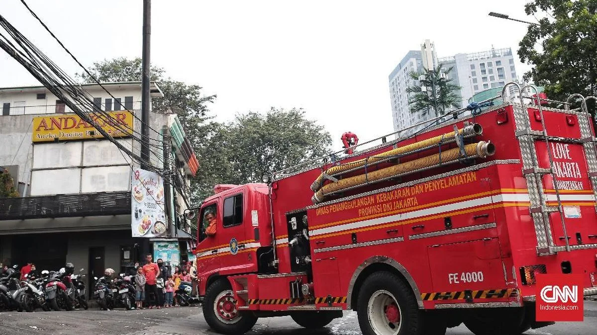
The firefighting effort involved a collaboration between BPBD, the Magelang Regency Fire Department, Magelang Police, Srumbung Police, Srumbung Military Command, TNGM, the Fire Care Community (MPA), and local residents. Officers deployed two water tanks with a total capacity of around 5,000 liters from BPBD, while residents modified three to four trucks with tarps to transport water. Although the fire has been extinguished, officers remain on standby at the location because the characteristics of burned pine wood leave smoldering embers for a long time and are difficult to put out.
Suspicion of deliberate action emerged because the fire points were on the edge of footpaths with relatively free access. "People ride motorcycles, throw fire, then leave. We don't know," Heri said. He linked this pattern to the rampant illegal sand mining in the area. "Usually it's burned, trees fall, then the sand is exploited," he explained. This modus operandi is strongly suspected to be the trigger for recurring fires.
"The fires that occur are mostly on the edge of footpaths. This is the biggest, lasting for days. Usually it's out in one day," said Tutut Heri Wibowo, Head of the TNGM Office.
Throughout this year's dry season, the TNGM Office recorded at least four fire incidents on the slopes of Merapi. However, this week's event was the largest and took the longest to handle. The fire was briefly extinguished on Tuesday night after consuming 18 hectares of pine and shrubs, but reappeared on Wednesday morning. This condition shows that completely extinguishing fires on peatland or pine litter requires extra vigilance.
Fires in conservation areas such as TNGM not only affect local ecosystems but also trigger broader concerns. The slopes of Merapi are an important water catchment area for the surrounding region. Vegetation damage can increase the risk of erosion and flash floods when the rainy season arrives. In addition, wildfire smoke could disrupt air quality in Magelang and its surroundings, although not as severe as peatland fires in Sumatra or Kalimantan.
From a law enforcement perspective, this case highlights weak supervision of illegal activities within the national park area. The illegal sand mining practice suspected to be the trigger should be a serious concern, not only for the TNGM Office but also for local government and law enforcement agencies. Without firm action, similar fires could recur every dry season.
Going forward, the big question is whether this incident will prompt a reorganization of Merapi area governance, including action against illegal mining and strengthening of the early detection system. If not, 60 hectares may not be the last figure that has to be borne.