
Magnitude 7.6 Earthquake Shakes Panama, Tsunami Warning Issued Along Pacific Coast
Baca dalam 60 detik
- Gempa berkekuatan 7,6 magnitudo melanda lepas pantai selatan Panama dan memicu peringatan gelombang berbahaya di tujuh negara Amerika Latin.
- Pusat gempa berada dekat Pitaloza Arriba, hanya 14 km dari daratan, dengan guncangan susulan 6,0 SR yang memperparah kepanikan warga.
- Otoritas setempat mengevakuasi gedung dan sekolah, sementara warga Panama City berhamburan ke luar ruangan menunggu informasi resmi.
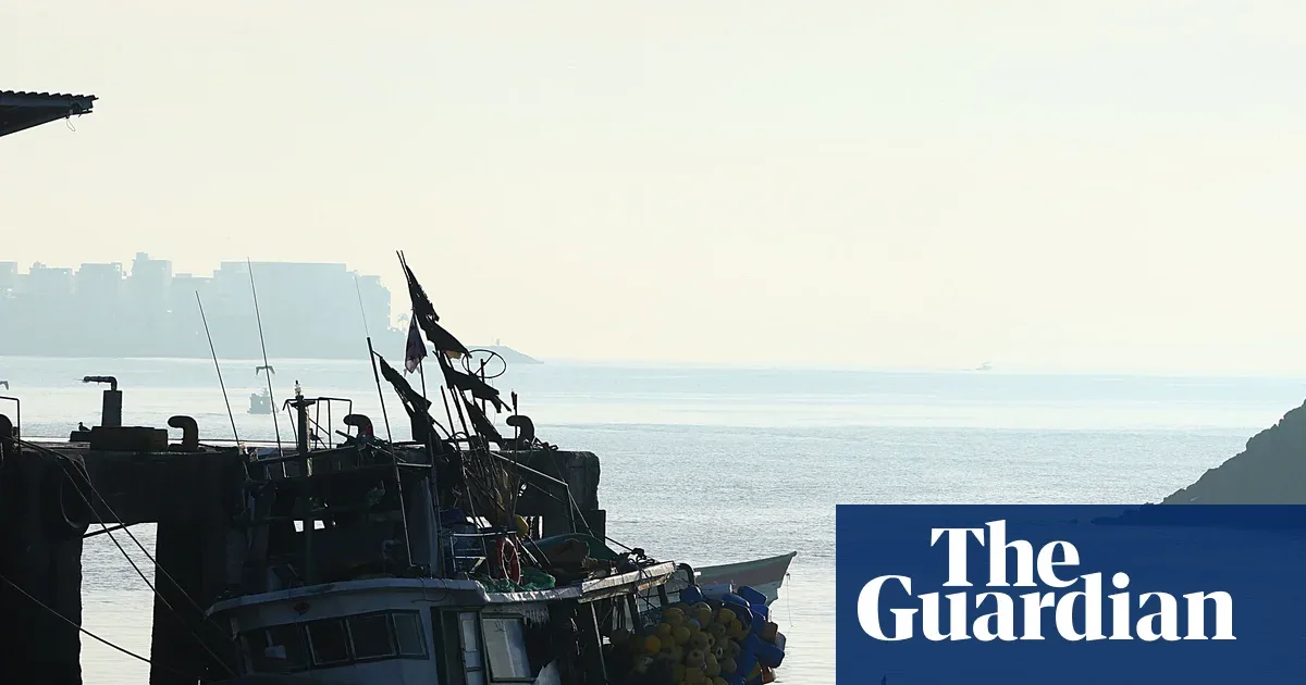
A magnitude 7.6 earthquake struck off the southern coast of Panama on Friday afternoon local time, triggering a tsunami warning along the western coasts of Central and South America. The United States Geological Survey (USGS) reported the epicenter was about 14 kilometers southwest of Pitaloza Arriba, a remote community at the southern tip of the country.
The University of Panama's Institute of Geosciences recorded the main shock shortly before 1:00 p.m. local time, not far from the town of Tonosí. Only about 20 minutes later, a magnitude 6.0 aftershock struck the same area, increasing the risk of damage to buildings and infrastructure in coastal areas.
Panic spread quickly to the capital. Residents of Panama City who felt the strong shaking left office buildings and homes, gathering in open spaces while waiting for official word. Reuters reported the shaking was clearly felt in the city center, while the Associated Press said several buildings swayed and residents appeared shocked in the streets.
Local newspaper La Prensa recorded evacuations at many locations, from schools to densely populated neighborhoods. The local government has not released an official report on casualties or material damage, but the pattern of shallow offshore quakes prompted authorities to move quickly to clear vulnerable areas.
"The shaking was very strong, we ran outside immediately because we feared the building would collapse," a Panama City resident told Reuters, describing the panic that gripped the capital.
The USGS warned of potentially dangerous waves along the coastlines of Costa Rica, Ecuador, Peru, Nicaragua, Guatemala, El Salvador, and Mexico. The warning is an alarm for the eastern Pacific region, which geologically sits at the meeting zone of active tectonic plates, where shallow quakes often trigger local tsunamis within minutes.
For Indonesia, the event is a reminder that a similar threat also looms over the archipelago's coastal areas. Indonesia sits on the Pacific Ring of Fire with hundreds of active fault points, including megathrust zones west of Sumatra and south of Java. The Meteorology, Climatology, and Geophysics Agency (BMKG) has repeatedly stressed the importance of early warning systems based on ocean sensors and evacuation drills for coastal communities. The Panama earthquake shows that evacuation time can be very short, making public preparedness the first line of defense.
Economically, a major earthquake in Latin America could disrupt maritime logistics routes, especially shipping through the Panama Canal, a lifeline of global trade. If high waves do materialize, loading and unloading activities and ship routes could be temporarily disrupted, though the long-term impact depends on how quickly authorities lift the tsunami warning.
The question now is: how ready are Pacific coastal nations for the next shallow earthquake? Early warning systems, evacuation routes, and public education will determine whether a similar shock ends in a major disaster or merely an alarm that was successfully anticipated.