GIS and AI: The Key to Global Collaboration for a Sustainable Earth
Baca dalam 60 detik
- Teknologi sistem informasi geografis (GIS) yang dipadukan dengan kecerdasan buatan dinilai mampu mengubah data spasial menjadi kebijakan pembangunan yang lebih presisi.
- Pendekatan geografis menawarkan kerangka kerja measure, visualize, analyze, design, evaluate, act untuk menjembatani kepentingan ekonomi dan kelestarian lingkungan.
- Tantangan terbesar bukan pada kapasitas teknologi, melainkan pada kemauan kolektif lintas sektor untuk bertindak berdasarkan pemahaman bersama yang sudah tersedia.
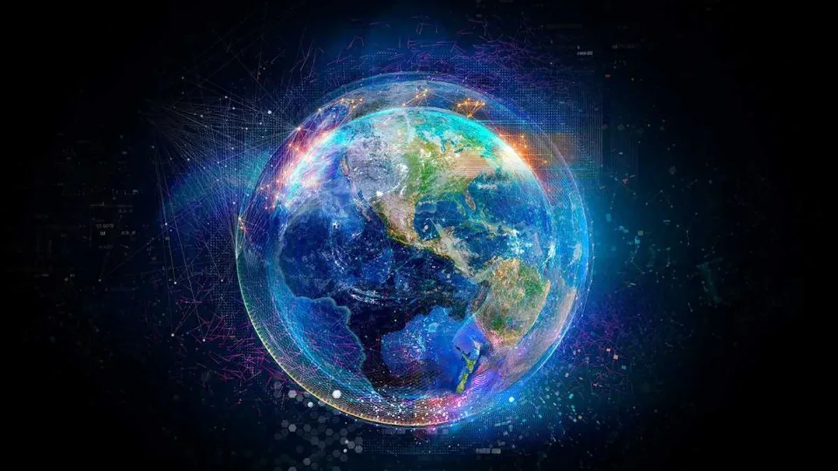
After nearly six decades of evolving from computer mapping experiments in university labs into a global platform used by millions, geographic information systems (GIS) are now at a turning point. The technology is no longer merely a map visualization tool, but a knowledge infrastructure that allows humanity to see the Earth with unprecedented sharpness. Yet amid that surge in capability, a troubling paradox emerges: our ability to collect data far outpaces our willingness to act together.
The warning comes from one of the world's GIS pioneers, who argues that the climate crisis, land degradation, and hydrometeorological disasters can no longer be solved with siloed approaches. According to him, every environmental impact always has a clear geographic address—whether it is a broken supply chain, soaring insurance premiums, or water conflict in a river basin. Understanding spatial relations is therefore a prerequisite for business decisions and public policy that are not merely reactive.
What sets the latest generation of GIS apart is its ability to integrate data from satellite imagery, field sensors, administrative records, and citizen reports into a single analytical framework. When geographic knowledge is shared across organizations and disciplines, what emerges is so-called collective geospatial intelligence—intelligence not produced by machines alone, but by human collaboration working from the same evidence.
For Indonesia, the implications of this approach are very concrete. As an archipelagic nation with 17,000 islands, the world's second-longest coastline, and the third-largest tropical forest, Indonesia faces complex spatial planning challenges: deforestation, conversion of peatlands, tidal flooding along Java's coast, and disputes over customary land boundaries. Without an integrated geospatial framework, development policies—from the new capital Nusantara to the food estate program—risk overlapping and being unmeasurable. GIS and AI can become the backbone of the single policy map that has so far been difficult to realize.
The role of artificial intelligence in this ecosystem needs to be placed proportionally. AI does accelerate information extraction from imagery and sensors, automate analysis, and open access to GIS through natural language assistants. But, as emphasized in the original source, AI must not replace human judgment, ethical responsibility, or creativity. Its greatest value comes precisely when it strengthens human capacity to explore alternative scenarios—not when it makes decisions on its own.
“Geography gives AI context. GIS connects it to places, relationships, and real conditions. Human values and judgment give it purpose and direction.”
At the global level, the geographic approach is being adopted by various actors: corporations pursuing efficiency while reducing environmental footprints, city planners balancing growth with regional carrying capacity, and conservation organizations monitoring biodiversity. The pattern that emerges is consistent—information is turned into shared understanding, and that understanding becomes coordinated action. However, the transition from knowledge to action remains the biggest weak point.
The question now is no longer whether our technology is sophisticated enough, but whether leaders—in government, corporations, and civil society—have the political will and coordination to use the knowledge that already exists. The future will not be determined by algorithms alone, but by collective choices about what we want to see, understand, and do together. If GIS and AI only stop in the control room without changing policy on the ground, then the paradox of knowledge versus action will continue to haunt civilization.